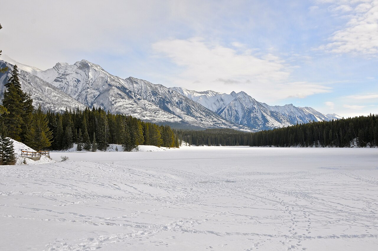

A full lake circuit with more texture than a promenade
Johnson Lake is worth choosing when you want a self-contained circuit around water rather than an out-and-back to a viewpoint. Its rolling line moves through forest and open places, changing the relationship between the lake and the surrounding mountains. That variety is the main reward. It does not require a high summit or a second lake destination to create a complete outing.
The official detailed description also identifies roots, rocks, bridge steps and a narrow shore section. Retain those details when deciding whether the circuit fits your group. The short overall scale and easy label do not make every part a broad smooth path. If your priority is an even surface, that is a separate requirement to investigate rather than something guaranteed by a lakeside setting.
The circuit shape gives the day a clear boundary
A loop returns you to the starting area without retracing the entire outward path, but it also means completing the selected circuit includes all its surface types. If you want to control the amount of walking tightly, a partial out-and-back on an appropriate section may make more sense. Do not promise a complete loop to somebody who expects only the terrain visible at the start.
For the full circuit, use a current map and follow the designated shore route. There is no need to create shortcuts to the water or cut through the forest to improve the shape. The lake already supplies a clear organising feature. Let the changing angles and tree openings provide the interest rather than treating the walk as a race back to the starting point.
Why the different shores matter
A lake circuit is rewarding because the view changes in more than distance. Trees frame the mountains differently, open sections reveal the broader landscape, and the opposite bank shifts from foreground to background. A walker interested in photography gains a sequence of compositions rather than one compulsory camera spot. Reflections and light remain variable, so choose the route for its overall setting rather than an exact image from somebody else's visit.
Narrow or uneven places also change the walking rhythm. Allow people to pass and stop where there is suitable room. If taking photographs causes repeated delays, agree a relaxed pace with companions instead of making them hurry between stops. A short scenic circuit is better enjoyed as one shared outing than as a repeated cycle of separation and catch-up.
Johnson Lake, Stewart Canyon or Fenland?
Choose Johnson for the circuit itself, Stewart for a defined canyon objective, and Fenland for the forest. These are not interchangeable easy-walk labels. Matching the route's actual character to the desired experience produces a more useful decision than ranking them solely by distance.
Swipe the table horizontally to compare every column.
| Walk | Distinctive appeal | Ground to assess |
|---|---|---|
| Johnson Lake | A complete lake circuit with forest and open views | Roots, rocks, bridge steps and narrow shore sections |
| Stewart Canyon | A shoreline approach to a canyon bridge | Rolling path and rougher sections beyond the developed start |
| Fenland | Close-up woodland on a compact loop | Significant root patches |
| Moraine Lakeshore | Water-level views at a different destination | The selected out-and-back and access arrangements |
Keep walking separate from water and ice activities
This guide concerns the designated land-based walking route. It makes no recommendation about swimming, paddling, crossing frozen water or approaching ice. A photograph of another visitor on the lake cannot establish conditions or permission for your visit. The existence of a pleasant summer shoreline walk has no bearing on whether a different water-based activity is appropriate. Keep those decisions outside the scope of this plan.
Likewise, do not leave the path for an attractive waterside rock or a seemingly direct line across a bay. The circuit's official land route is the experience being assessed. A small detour can change the ground substantially, and it is unnecessary for enjoying the mountain setting. Genuine scenery does not need an improvised camera position to become memorable.
A lighter day should remain light in total
Johnson Lake can fit a day with less climbing after a more demanding outing, but avoid adding several other short routes until the combined day becomes long. Choose one complementary activity if you want it, and count the travel and pauses. A lake circuit, Stewart Canyon and another town walk are three outings, not one small hike simply because each is individually modest.
For a group with different preferences, Johnson offers a shared landscape rather than a high summit target. Discuss the complete circuit's uneven ground in advance. If one person needs a smoother or shorter experience, choose an actual appropriate alternative rather than telling them a loop must be easy. Honest scope is more useful than a reassuring category.
The practical decision
Choose the circuit when changing lake views and natural-surface walking are both attractive to the group. Choose Fenland when forest detail is the priority, or Stewart when a canyon bridge gives the day a clearer destination. Obtain current official reports before leaving, especially when ground conditions or restrictions could change the decision. This is not a promise of year-round suitability.
The route's enduring value is its compact but varied shoreline sequence. Once the roots, bridge steps and complete loop are understood, you can choose it accurately for a lighter Banff day. That is a stronger foundation than assuming all short lake walks are smooth, flat and appropriate for every visitor.
The official Johnson circuit is 2.9 kilometres with 90 metres of ascent and a one-hour estimate. Because this is a loop, 2.9 kilometres is the circuit distance rather than an outward length to double. That makes it a clear bounded choice for a lighter day when natural-surface walking is welcome. If bridge steps are the deciding constraint, note that the detailed official assessment locates one only 100 metres counterclockwise from the trailhead; starting in another direction does not remove it from the full loop. Choose a different route when the complete surface mix is unsuitable, rather than letting the small total override that requirement.
Questions answered
Is Johnson Lake a flat, paved circuit?
No. Official information describes a rolling route with natural surfaces, roots, rocks, bridge steps and a narrow shore section.
Does this guide recommend walking on the frozen lake?
No. It covers only the designated land-based walking route and makes no ice or water-activity recommendation.
Sources & scope
Route facts are drawn from the resources below. The comparisons and recommendations are our research-based editorial analysis; this is not a claim of personal trail inspection. Access and conditions must be checked with the responsible land manager before travel.
Editorial standards · Explore the destination guides
Found a detail that needs correcting? Send the guide URL and a supporting source so we can review the exact route version.