
What the full circle actually promises
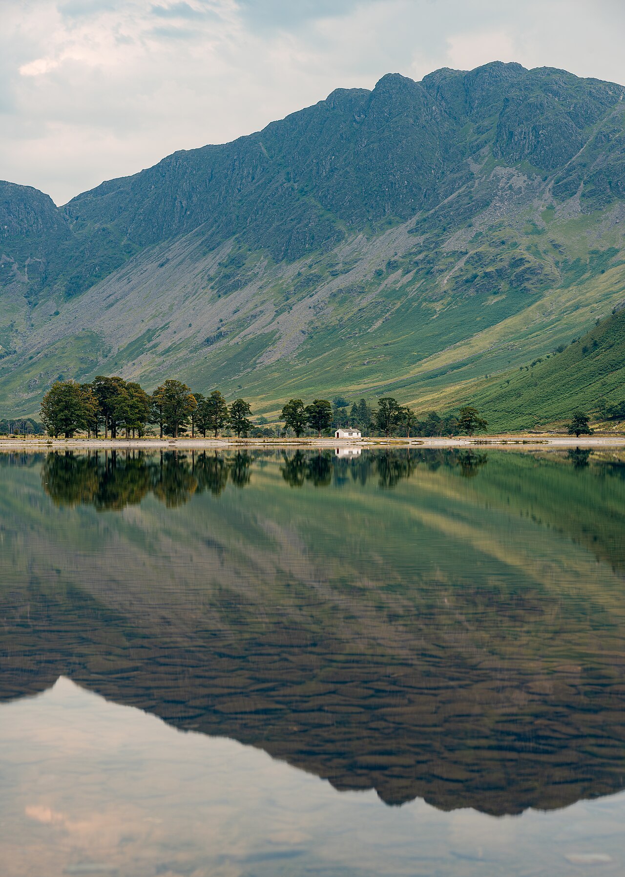
Buttermere is a particularly clear example of a lake whose surrounding slopes are part of the walking experience even when you do not climb them. The route stays in the low-level landscape while the enclosing fells supply the sense of height. This makes the circuit appealing for a day between mountain walks, or for visitors who want a coherent landscape journey without choosing a summit.
The National Trust describes the lakeshore circuit as roughly seven kilometres, with a brief road section and a short rock step. Those three details are more useful together than the distance alone. A full circuit offers continuous variety but contains different kinds of ground. It should not be advertised as a single uninterrupted, level surfaced path. Decide whether everyone wants the complete circle or simply some time beside the lake before allowing the word circular to determine the outing.
Separate the village connection from the shore
Buttermere village sits at the northern end of the lake area. A walk beginning there has to connect with the waterside paths and eventually return through the same broader northern landscape. Where you park, stay or begin on foot determines the precise connection. Do not add the entire lake circuit to another route’s village approach without checking whether that approach is already counted.
For planning purposes, divide the journey into the village connection, the western and eastern shore sections, and the passage around the southern end below the higher slopes. This is a route structure rather than a substitute for a map. Its usefulness is that you can see how far through the circuit you are. Reaching the far end means you still have the other shore ahead, not merely a final stroll back to the village. The lake’s compact appearance from one viewpoint can disguise that commitment.
Choose a direction for the landscape sequence
Either direction around a properly planned circuit eventually gives you the same broad collection of shore views. The difference lies in their order. Beginning with the section that most interests your group can be sensible if you expect to stop repeatedly, while leaving that section until later can give the return a clear visual goal. A clockwise label by itself does not make one direction universally better.
Compare the practical shape of the day rather than searching for a magical direction that removes the terrain. The rocky interruption still belongs to the complete circle whichever way you walk. Woodland remains woodland, and the far end remains the far end. If a particular section is unsuitable for somebody, reversing the circuit does not solve the underlying mismatch. A shorter planned return walk on an appropriate section is a more honest alternative than promising that the full loop becomes easy in the other direction.
A useful order for a first full circuit
The National Trust describes the complete Buttermere lakeshore circuit as approximately 7 km (4.5 miles), suggesting around three hours to include time for the views. That figure belongs to the full round-lake route, including its brief road section and rocky interruption; it does not include a summit ascent or the separate Scale Force extension. Add any approach from your actual village starting point where it lies outside the selected lakeshore circuit.
From the village end, choose the western shore first if you want the outward half to emphasise the enclosing fells and the far-end landscape. Complete the opposite shore as the return, retaining the short tunnel as a distinctive later feature rather than treating both shores as identical. This is a scenic order, not a way to remove the circuit’s rock step or road section. A visitor whose priority is a short, controlled walk should instead select a shore section and retrace it, without becoming committed to the far end merely because the first half felt manageable.
The National Trust identifies the tunnel as a nineteenth-century intervention in the lakeside route. It gives this circuit a human-landscape detail beyond reflections and fell views. Retain the current signed route around any managed wildlife area; the village-end connection is part of the outing and should follow the land manager’s present line.
The difference between low-level and obstacle-free
The low elevation of a lakeshore route tells you little about every metre of its surface. Roots, stones and uneven banks can interrupt a walk that has no large climb. Buttermere’s short rock step is especially relevant for people choosing a lake walk specifically to avoid that kind of obstacle. It may be a small part of the total distance while still deciding whether the entire circuit is a good match.
Do not use a mountain walker’s assessment of “only a small step” as a universal judgement. The useful question is whether the actual group can comfortably manage the whole route they have chosen. This is different from asking whether the route deserves an easy or moderate label. The National Trust’s description makes the interruption visible in advance; retain that nuance when discussing the walk with companions. There is plenty of value in experiencing part of Buttermere without treating completion as an obligation.
A complete circuit or an intentional partial walk
Choose the complete circuit when the group wants a full lake landscape, can account for its mixed ground, and has planned enough walking time to enjoy both shores. It creates a satisfying self-contained outing. Avoid loading it with extra waterfall or summit objectives simply because those names appear nearby on the map. Scale Force, Rannerdale Knotts and Haystacks belong to different walking decisions, not automatic additions to a shore circuit.
Choose an out-and-back when the group wants control over duration or needs a particular surface requirement checked on the chosen section. The turning point can be a deliberate feature rather than a sign of an incomplete day. This approach also makes it easier to spend longer examining a view without feeling committed to a distant return shore. Buttermere works best when the form of the walk matches the reason for visiting: a whole-lake journey for some walkers, a focused shore experience for others.
Questions answered
Can Buttermere be combined with Rannerdale Knotts?
They are separate route objectives. Adding a fell changes the outing from a lakeshore circuit into a longer day with an ascent. Plan that combination explicitly rather than treating the hill as part of the ordinary lake walk.
Is the complete circuit suitable for every mobility requirement?
No general promise is appropriate. The full route includes mixed ground and a brief rocky interruption. Assess a specific section against the actual requirements instead of relying on the label lakeside.
Sources & scope
Route facts are drawn from the resources below. The comparisons and recommendations are our research-based editorial analysis; this is not a claim of personal trail inspection. Access and conditions must be checked with the responsible land manager before travel.
- National Trust: walking in Buttermere Valley
- National Trust: Buttermere Valley overview
- Lake District National Park: walking route directory
Editorial standards · Explore the destination guides
Found a detail that needs correcting? Send the guide URL and a supporting source so we can review the exact route version.